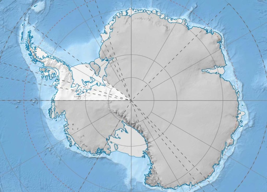
We often hate to love high resolution photographs.Don’t we? Clarity stirs our curiosity to dive deeper and identity what others haven’t located yet.A recent Antarctica map has ignited public attention towards this freezing pole.A factor owed by deficiency of good high resolution maps thus cutting any cords that aim for a critical study of the region.Thanks to a recent clearer emerged map that has opened doors for a detailed survey of the continent.
In contrast to other regions, Antarctica has had low resolution images being a step behind mars which is not even a part of earth.
The brains behind this great achievement being researchers from Ohio state and Minnesota University. These gathered stereoscopic images of the region from the 2009-2017 satellite images.To come with this conclusive map they gathered data into one unit by use of the blue water computer combining 150 terabytes of the available data.
The accurateness of this map has helped identify the region’s terrain easily.This has also helped identify a car parked on an ice shelf from the Network Times. The Ohio State and University of Minnesota researchers haven’t stopped there.They have set up a platform where one can identify the Antarctica elevation easily. The researchers have also added that the map will help in plotting safer routes between science stations used by other researchers. To effectively track thinning glaciers, river and volcano activities the structure will need regular updates.Earlier, it had been tough tracking these changes hence an easened battle against climate.
Disclaimer: The views, suggestions, and opinions expressed here are the sole responsibility of the experts. No A News Week journalist was involved in the writing and production of this article.
